Britain could be set to swelter through the hottest day of the year so far on Saturday, with the mercury expected to hit 33C in southern England.
The UK has already sweltered through five days of temperatures above 30C in September for the first time, with that record likely to continue on Saturday and Sunday.
Thursday was provisionally the hottest day of the year, with 32.6C recorded in Wisley, Surrey.
Wondering what the weather will be like for the first half of the weekend? 🌤️
Here is your Saturday #4cast with all the details 👇 pic.twitter.com/CZFjGY3Cij
— Met Office (@metoffice) September 8, 2023
Saturday, however, is expected to exceed that high temperature with areas around London expected to bear the brunt of the hot weather.
As a result, the UK Health Security Agency has issued an amber heat health alert.
This means weather impacts are likely to be felt across the health service, with those aged above 65 or those with pre-existing respiratory or cardiovascular disease at greater risk.
In addition to the heat, the Met has also revealed Saturday brings the potential for thunderstorms across a large chunk of central Britain.
A yellow weather warning for Saturday has been issued for large parts of the nation.
The Met’s yellow weather warning means some people could be in store for some flash flooding, lightning strikes, hail or strong winds, with possible interruptions to road access and public transport if such circumstances were to occur.
Met Office chief meteorologist Paul Gundersen said: “Although much of the UK will see high temperatures and sunny skies continue on Saturday, in what has a possibility of being the hottest day of the year so far, there’s also the potential for some thunderstorms, which has resulted in a Yellow Warning being issued for much of central England and parts of east Wales.
“Temperatures will begin to trend downwards from Saturday in the far northwest of Scotland, with a cold front gradually moving south through the weekend, bringing with it the risk of some heavy and thundery downpours on Sunday as well.
“However, the southeast will hold on to the high temperatures the longest and could still reach 32C on Sunday.”

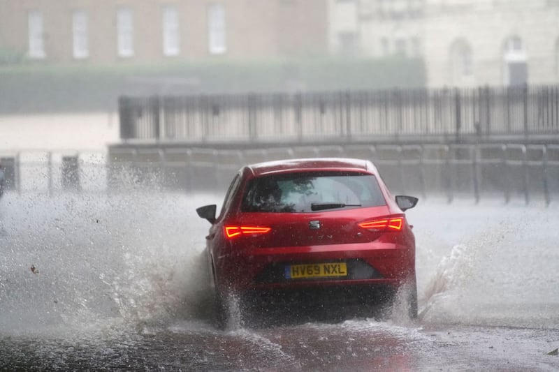
Environment Agency flood duty manager Chris Wilding warned motorists against driving through floodwaters in the case of flash flooding.
Mr Wilding said: “Significant surface water flooding is possible but not expected across parts of England on Saturday afternoon and evening due to isolated intense downpours.
“We urge people not to drive through floodwater – it is often deeper than it looks and just 30cm of flowing water is enough to float your car.”
Mayor of London Sadiq Khan has issued a “high” air pollution alert for the capital for Saturday, the first since June, and urged Londoners to stop their engines idling and refrain from burning wood or garden waste.
But there is relief from the heat on the horizon, with the UK expected to return to cooler weather next week with a mix of sunshine, showers, and some windy conditions likely as temperatures return towards the average for the time of year.


