Researchers have for the first time been able to paint a full picture of the north of Ireland's coastal changes over the last 200 years.
Using historical maps and aerial photographs, the team of experts from Ulster University have examined what changes have taken place.
Their research has now created a detailed picture of coastal change over the past 193 years.
The project, funded by the Department of Agriculture, Environment and Rural Affairs (DAERA), has taken over a year to complete and represents some of the most detailed analysis possible for examining historical changes on coastlines.


Utilising the first (circa 1830) detailed Ordnance Survey maps and intervening mapping surveys, vertical aerial photographs from the 1950’s to present day, as well as a recent coastal topographic LiDAR (Light Detection and Ranging) survey undertaken by DAERA, each 25-metre section of the coastline was investigated for positional changes.
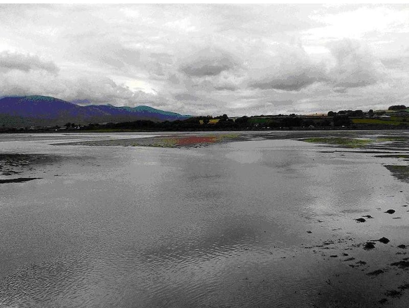
For the first time ever, NI has a detailed image of changes to our coastline stretching almost 200 years, thanks to Ulster University @UlsterUniGES
— Ulster University (@UlsterUni) October 6, 2023
Funded by @daera_ni, researchers studied our shorelines using historical maps & photos from the 1830s.
https://t.co/8a73yKRuwq pic.twitter.com/iBeYtDRRF4
Professor Derek Jackson, an expert on coastal processes and lead researcher, said the project "was a huge technical task", but it had produced "a fantastic database from which to better understand" how the coastline has changed.
"For the first time, Northern Ireland now has a detailed picture of how dynamic, particularly the sandy stretches, of the coastline are," he said.
Read more:
Plans unveiled for new Coastal Conservation Centre at Murlough
Ulster University geoscientist recognised as one of Ireland's leading world class researchers
"This now gives a much better scientific basis from which to manage these sites in the future.
‘Shoreline change data tells us where erosion (or even build-up) of sediments has occurred, and this can help better advise any future planning decisions or other uses of particular stretches of the coast."
Professor Andrew Cooper, co-investigator on the project, said the largest shoreline advancements recorded in the last two centuries along the coastline were "all induced by human modifications such as extensive land reclamation in sea loughs, construction or expansions of ports and harbours, power stations, wastewater treatment areas or touristic facilities".
"Rocky coasts, apart from limited rockfalls, were less subject to largescale changes as were shorelines not influenced by human-modified in sea loughs," he said.
"Minor changes were also recorded in the offshore islands.
"The largest ‘natural’ shoreline erosion levels were recorded on the western side of Magilligan Point (Co Derry), while the largest shoreline advancement over the last two centuries was found in at Murlough’s (Co. Down) sand spit."
The study also found that open-coast sandy shorelines showed various levels of erosion, apart from build up at the Castlerock-Portstewart Strand complex (due to the extensive jetties at the river Bann entrance which are trapping sand from both directions) and Ballykinler (linked to local geology and inlet exchanges between the inner and outer Dundrum Bay).
Professor Jackson added: ‘The project also examined areas where coastal processes are concentrated, inside which sediment is largely contained and moved around.
"A total of seven of these zones, known as ‘coastal cells’, were identified, which again helps in future coastal management approaches."