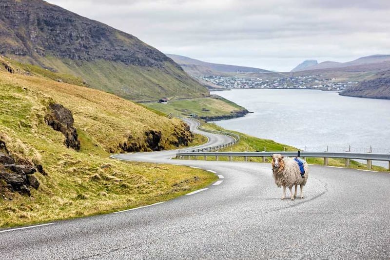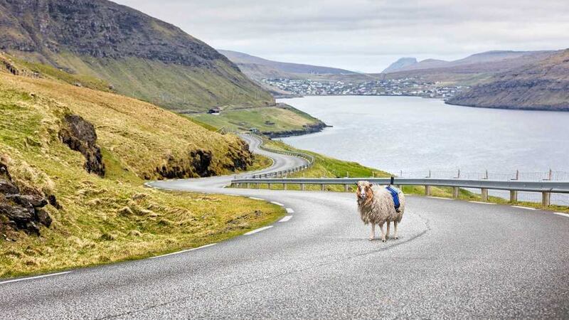
THE Faroe Islands tourist board has turned to the country’s population of sheep as they attempt to convince Google Street View to map its 18 tiny islands.
The project, amusingly dubbed ‘Sheep View 360′, is the brainchild of Visit Faroe Islands employee Durita Dahl Andreassen and involves fitting 360-degree cameras to five of the 80,000 sheep in the country.
As the sheep do what sheep do and wander about, the images they capture are sent to Andreassen with GPS coordinates and she then uploads the images and coordinates to Google Street View.
“Here in the Faroe Islands we have to do things our way,” Andreassen told The Guardian. “Knowing that we are so small and Google is so big, we felt this was the thing to do.”

While the project is being used to try and get Google to map the country it has also served as an ingenious way to display the beauty of the islands with links to the ‘Sheep View 320′ available to be watched on the Visit Faroe Islands website while there is also a promotional video featuring Andreassen.
In the video Andreassen, who takes viewers around some of the streets in the capital Torshavn, says that Google Street View has been “all around Europe, even on the top of Mont Blanc” and promises to post more video as she attempts to “show Google and the rest of the world what they’re missing out on”.
The idea has also spawned the hashtag #wewantgooglestreetview and Google Maps has clearly started to take notice after tweeting this on Tuesday.
Faroe Islands, we ?? ewe. #SheepView #FaroeIslands https://t.co/6mEHqGl3d4 (via @guardian) pic.twitter.com/RxuBb3Ota5
— Google Maps (@googlemaps) July 12, 2016
The Visit Faroe Islands’ Twitter account was quick to respond.
@googlemaps @mfj84 @guardian hard loved <3 we miss you @googlemaps . Please come and visit us :)
— Visit Faroe Islands (@VisitFaroe) July 12, 2016