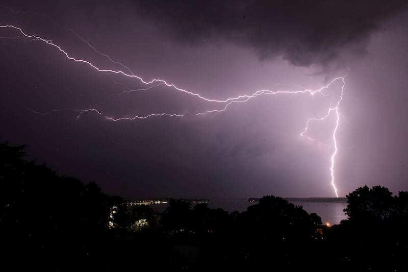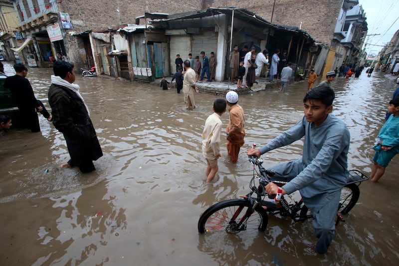
THE MET Office has warned to expect dangerous flying debris and travel cancellations across the north as the first named storm of the season is set to bring winds of up to 80mph across the north.
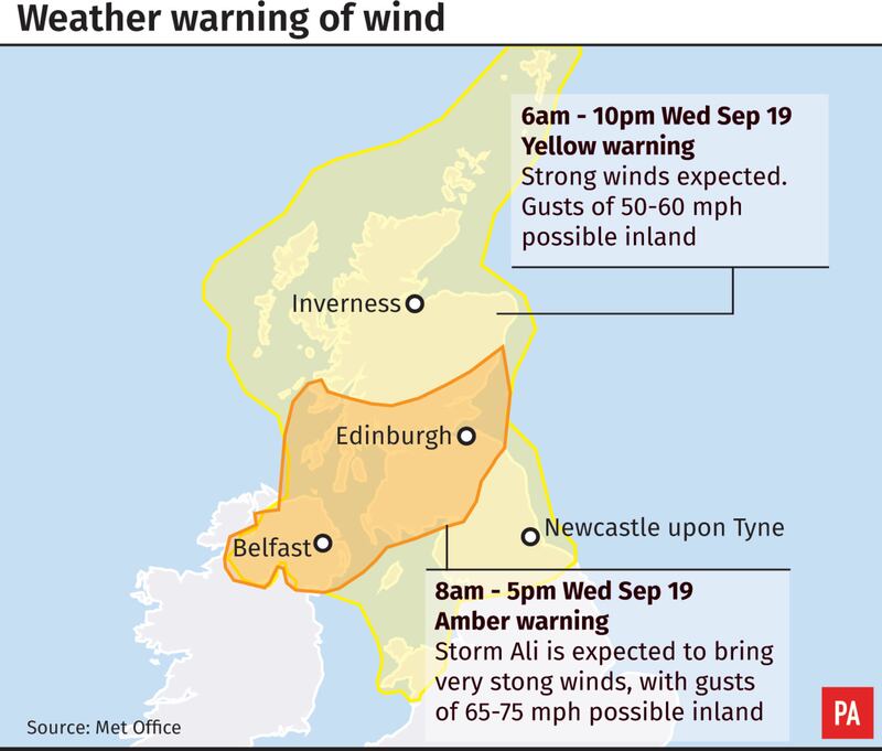
An amber warning is in place from 6am until 5pm tomorrow as Storm Ali approaches.
The high winds will be accompanied by heavy showers and journeys by road, rail and air are likely to be disrupted and the conditions could also damage buildings, leading to power cuts and blowing over trees.
Ali is first on the storm names list for 2018-19 announced by the Met Office and Met Eireann, which has run the Name Our Storms scheme for four years.


The season's names have been compiled from a list of submissions by the public, choosing some of the most popular names and also selecting those which reflect the nations, culture and diversity of the UK and Ireland.
The practice is aimed at raising awareness of severe weather before it hits, with polling finding almost 80% of people think naming storms is useful in making them realise severe weather may have a greater impact than normal.
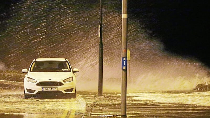
Weather warnings were also issued across Northern Ireland, Scotland, the north of England and Wales for Wednesday.
People have been asking why we name storms. Met Office Meteorologist @aidanweather explains: pic.twitter.com/8mOb8ZLNMl
— Met Office (@metoffice) September 18, 2018
Forecasters cancelled a wind warning for Tuesday due to gusts not meeting the power threshold as Storm Helene fades away.
Meteorologist Dean Hall said parts of the UK felt gusts of about 30-40mph on Tuesday morning, with wind speeds reaching 50mph in parts of Wales.
Storm Helene, which started as a hurricane, was named by the US National Hurricane Centre and not the Met Office, so does not officially count as part of the UK named storm season despite making it to Britain and Ireland.
What should you do if you live in the amber wind warning area? #StormAli ? pic.twitter.com/MRMkboEu1R
— Met Office (@metoffice) September 18, 2018
Helene, which was downgraded after initial warnings it may pose a risk to life, is moving away towards the north east and will have moved on by Wednesday.
"We've got rain currently across Scotland, northern England, eastern parts of Northern Ireland, associated with what was Storm Helene," Mr Hall said.
Wednesday could see winds of 60-70mph, the forecaster said, adding: "Certainly we could see close to 80mph, possibly even higher miles per hour in exposed areas in the far north of the country."
Meteorologist Bonnie Diamond added: "Winds will build quite quickly through the morning and remain very strong.
"Temperatures will remain fairly mild though as it brings in mild air from the Atlantic.
Status Orange - Wind warning for Cavan, Monaghan, Donegal, Dublin, Kildare, Louth, Meath, Galway, Leitrim, Mayo, Sligo, Clare and Kerry
— Met Éireann (@MetEireann) September 18, 2018
Valid from Wednesday 19 September 2018 05:00 to Wednesday 19 September 2018 13:00
See details here https://t.co/ozrQHtoOkt#StormAli pic.twitter.com/a4luYFkhiY
"Moving into Thursday we will see widespread heavy and persistent rain which looks set to change to sunshine and showers on Friday, before becoming more settled on Saturday."
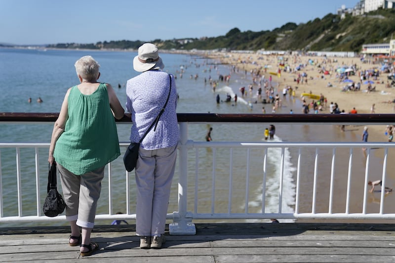
Temperatures remain above average for this time of year with 24C (75F) possible in London on Tuesday after the mercury hit 26C (79F) in the capital on Monday.
The full list of storm names for 2018/2019 is: Ali, Bronagh, Callum, Deirdre, Erik, Freya, Gareth, Hannah, Idris, Jane, Kevin, Lily, Max, Niamh, Oliver, Peggy, Ross, Saoirse, Tristan, Violet and Wyn.
Very strong winds and heavy rain will reach Northern Ireland and parts of Scotland during Wednesday. @MetEireann and @metoffice have just jointly named this system "Storm Ali". Warnings will be updated later this morning. #StormAli pic.twitter.com/UIBCl5vmcw
— Met Office (@metoffice) September 18, 2018