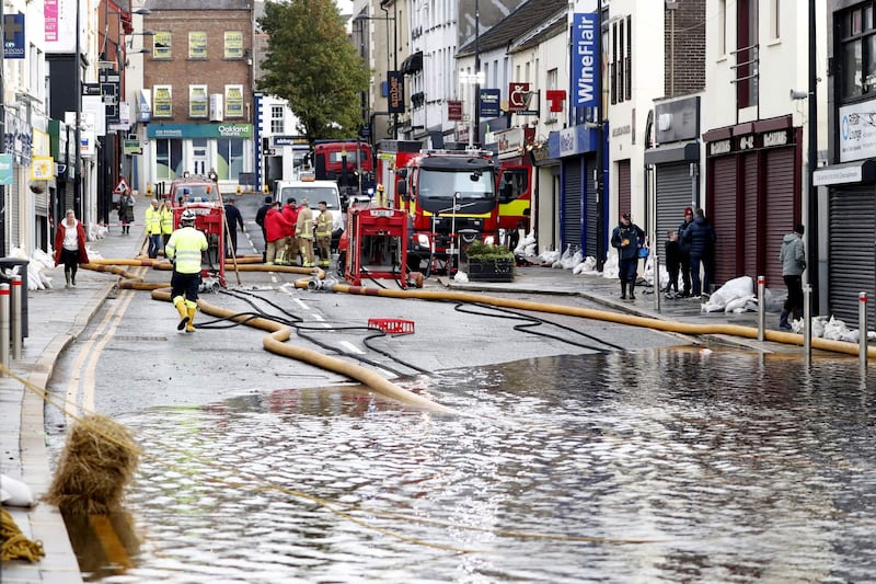
STORMONT civil servants have published a report detailing all the public roads that cross the border between Northern Ireland and the Republic.
A total of 208 public road border crossings are identified along the 310-mile frontier, which continues to pose a logistical conundrum for Brexit negotiators.
In the north, Co Fermanagh has the most road crossings with 80, followed by Armagh with 75, Tyrone with 53 and Derry with 18.
On the southern side, the most border roads go through Co Monaghan with 95, followed by Donegal with 59, Louth with 33, Cavan with 15 and Leitrim with six.


But the analysis does not include the many private roads crossing along the north-south border.
Officials in Stormont's Department for Infrastructure (DfI) worked with the Department of Transport, Tourism and Sport (DTTaS) in the Republic to determine and agree on all of the road crossings in the report.
The roads include those considered public on both sides of the border; those considered public on the northern side and private on the southern side, and visa versa; and locations where the border runs along or near the centreline of a public road.
On the northern side, 24 are A-class routes, which form the core of the road network; 16 are B-class routes which generally form the remainder of inter-town and village links; 15 are C-class which tend to be more minor countryside roads; and 146 are 'unclassified'.

A further six routes are considered private on the northern side and public on the southern side, and one is listed as a 'border crossing on an unnumbered Northern Ireland public road'.
On the southern side, 10 crossings are classed as 'national primary'; seven as 'national secondary'; 20 as 'regional'; 44 as 'local primary'; 53 as 'local secondary'; and 64 as 'local tertiary' public roads.
Four are considered private roads in the Republic but public in Northern Ireland, and six are listed as a 'border crossing on an un-numbered public road in the Republic'.
The report also noted that as well as road crossings, two cross-border car and passenger ferry crossings exist from Magilligan in Co Derry to Greencastle in Co Donegal, and Greencastle in Co Down to Greenore in Co Louth.

Negotiations are continuing over the future of the north-south border when the UK leaves the European Union next March.
The British and Irish governments and the EU all insist they want to avoid a 'hard border' with physical checkpoints on the island of Ireland, but questions remain over how this can be achieved.
Customs posts were a common sight during the Troubles along the border between Northern Ireland and the Republic.
There were just 20 border crossings open during the Troubles, but today hundreds of border roads blocked during the years of conflict are now back in use.