
Conservationists have accurately recreated the Culloden battlefield using electronic mapping techniques to mark the 275th anniversary of the battle.
Experts say the new technology gives “the most detailed understanding” possible of how the landscape looked in 1746, when the final Jacobite Rising “came to a brutal head in one of the most harrowing battles in British history”.
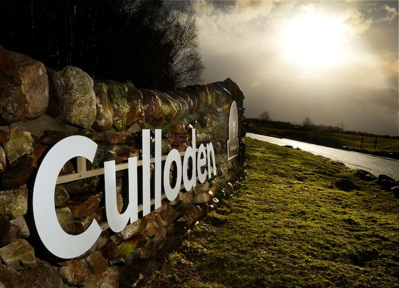
Culloden, near Inverness, hosted the final fight of the rebellion where the army of Charles Edward Stuart (Bonnie Prince Charlie) was defeated by a British government force under William Augustus, Duke of Cumberland.
Jacobite supporters had sought to overthrow the House of Hanover and restore the House of Stuart to the British throne.


But on April 16, 1746, in the last pitched battle on British soil, around 1,500 Jacobites were slain within an hour, crushing the revolt.
The National Trust for Scotland (NTS) said it will unveil the new maps publicly on Saturday at an online event to commemorate the conflict.
Its head of archaeology Derek Alexander said: “These maps give us the most detailed understanding currently possible of how the landscape looked in 1746.
“Thanks to 21st century technology, we can use these to get a feel for what soldiers on the battlefield would actually have been able to see of their opponents, their positions and their weaponry.
“In terms of understanding the tactics and the outcome, it’s a really powerful tool.”
The NTS is currently bidding to get the Culloden battlefield world heritage site status.
If the application to Unesco is successful, it would become the seventh heritage site in Scotland, joining the Antonine Wall, the Heart of Neolithic Orkney, New Lanark, the Old and New Towns of Edinburgh, St Kilda and the Forth Bridge.
The trust says the site is under “greater threat than ever from developments” including housing and commercial projects.
The new maps have been created by AOC Archaeology, and include layers showing where archaeological excavations have happened over the years and where items have been found, said the trust.
Raoul Curtis-Machin, operations manager at Culloden, said: “These maps aren’t just for the past, they’ll also help us to protect Culloden for the future.
“Their detailed information gives us a clear understanding of how the site has been altered through building and development over the centuries, all of which is invaluable as we strive to retain all that is special about this site that is of such significance to Scotland’s story.”
The event programme can be accessed at: www.nts.org.uk/culloden275.


