The redesigned version of Apple Maps, complete with more detail on buildings and road coverage, has been launched in the UK and Ireland.
The new version of Maps will begin to be rolled out to Apple mobile users in the UK and Republic of Ireland on Thursday evening.
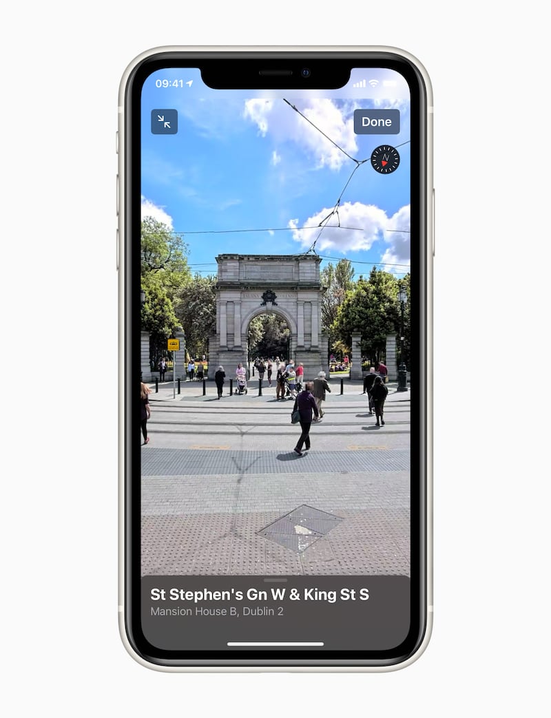
It also includes new navigation options, including details on cycling routes for users in London, as well as the introduction of the Look Around feature, which enables users to explore large areas of London, Edinburgh and Dublin at street level through 3D photography.

In the wake of its initial launch in 2012, Apple Maps was criticised for lacking some detail and accuracy as it attempted to rival Google Maps and become the go-to service for users.
But since then it has undergone several major revamps and updates to improve its user experience, including a complete redesign and remapping for this latest version.
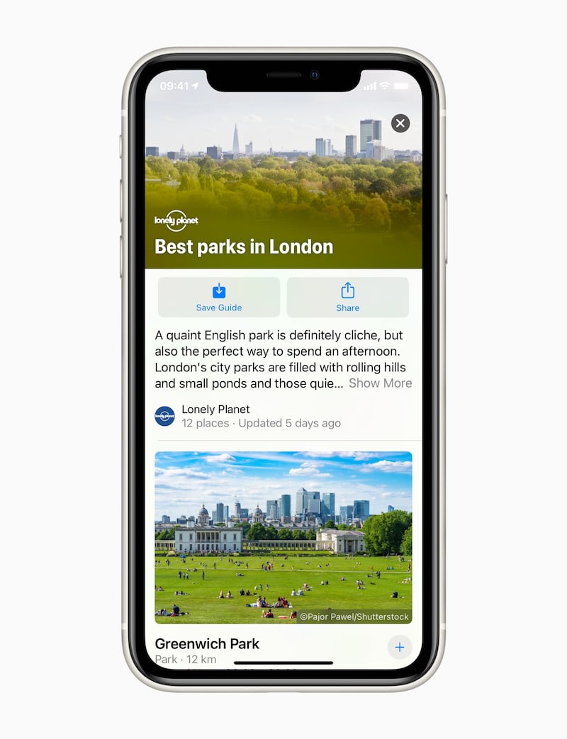
The new version of Maps will also include Guides to users in the UK and Ireland for the first time – curated collections of things to see and do in major cities created with input from the likes of Time Out and Lonely Planet.

The new feature will launch initially with Guides in London.
Apple confirmed that new details on congestion zones would also now show up in Maps, as would the ability to share your arrival time with other users.
New flight status details could also be linked to Maps when users were travelling to an airport, with virtual assistant Siri able to identify travel information and combine with maps to direct users to the correct terminal and gate.


