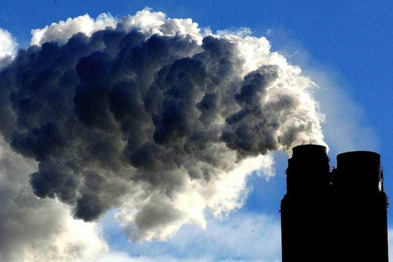
Our planet is in a state of continuous change – some man-made, others natural. From melting glaciers and drying lakes to urbanisation, the surface of the Earth has changed dramatically over the years and continues to do so.
And for the past few decades, Nasa has been documenting these changes through satellite imagery as part of its Images of Change series.
“Some of these effects are related to climate change, some are not,” Nasa says. “Some document the effects of urbanisation, or the ravage of natural hazards such as fires and floods. All show our planet in a state of flux.”
Here are a few ‘then and now’ images from their selection:


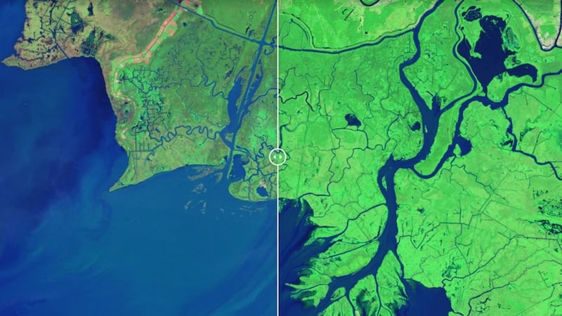
1. Wax Lake outlet, Louisiana
1984
2014
2. Twin cities, Minnesota
1988
2011
3. The Three Gorges Dam, China
1993
2016
4. Hamburg flooding, Iowa
2010 (before flooding)
2011 (after flooding)
5. Mississippi River flooding, US
2015 (before flooding)
2016 (after flooding)
6. Lake Poopo drying, Bolivia
2013
2016
7. Helheim Glacier melt, Greenland
2001
2005
8. Wax Lake Delta restoration, Louisiana
1983
2011
9. Colorado River evolution, Mexico
1985
2007
10. Binhai, China
1992
2012
11. Artificial islands, UAE
2001
2012
12. Columbia Glacier melt, Alaska
1986
2014