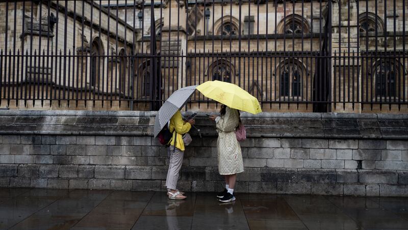
Thunderstorms and heavy showers are set to hit large parts of England.
A yellow thunderstorm warning, which covers the East of England plus London and the South East until 8pm on Tuesday, comes after sweltering conditions which brought seven consecutive days of temperatures above 30C in some areas.
The Met Office said parts of East and South East England could see 20-30mm of rain fall in less than an hour, with one or two places seeing 40-50mm within two hours, on Tuesday afternoon, leading to some localised flooding.
It added that “lightning and hail may be additional hazards”, though showers and thunderstorms should slowly die out during the evening.


Spray and “sudden flooding” could lead to difficult driving conditions and some road closures, forecasters added, and there is a “small chance” some communities could be cut off.
A damp afternoon across parts of northern and central England, with rain turning heavy at times 🌧️
Bright or sunny spells and showers elsewhere, heaviest and carrying the risk of thunder in East Anglia and southeastern England ⛈️ pic.twitter.com/iM098ORYhQ
— Met Office (@metoffice) September 12, 2023
Downpours causing potential flooding and disruption could also hit the East and West Midlands, North West England, Yorkshire and the Humber plus parts of Wales, where a yellow warning for rain has been in place.
The rain is likely to turn more showery during Tuesday afternoon, the Met Office said.
Last week’s heatwave broke the record for the most consecutive days with temperatures above 30C in September, with Saharan dust generating vivid sunsets and sunrises in the clear conditions.
Meteorologist Alex Deakin said temperatures will be much cooler this week but “the warmth is still hanging on”.
The mercury could reach 17-19C in sunny spells across Wales, with temperatures just a degree or so shy of that in Northern Ireland, Scotland and across much of England.
It could be around 22C across the South East.


