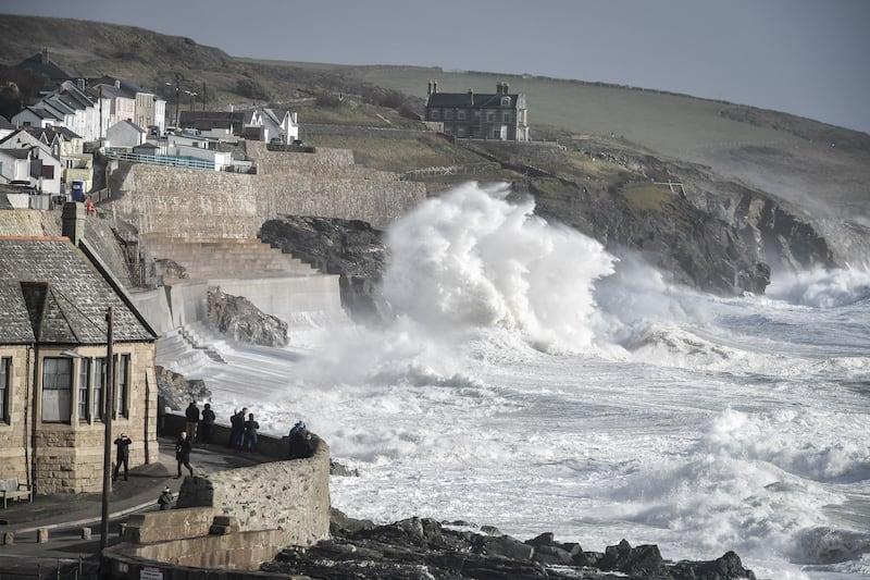
Temperatures will be slightly chillier than average with significantly less rainfall from Tuesday as the country recovers from a wet and windy start to 2024, forecasters have said.
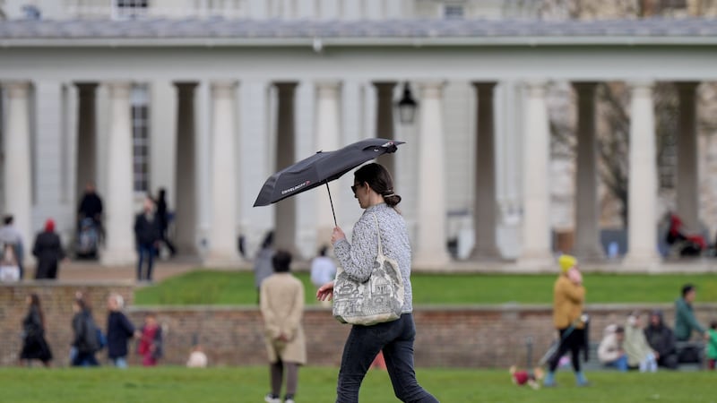
The Met Office said Monday will be the wettest day of the week as a band of rain pushes its way south-eastwards overnight, causing widespread rainfall across the country accompanied by strong, chilly winds.
Temperatures will generally sit a little below their April average with particularly cold starts in Scotland, where cities such as Edinburgh and Glasgow are predicted to see early morning lows of 2C or 3C.
Slightly warmer temperatures of around 8-10C are expected across England throughout the day, with highs of 12C.

In some colder areas, such as northern Wales and Scotland, showers may be accompanied by wintry winds bringing sleet and hail, Met Office forecaster Simon Partridge said.
He added: “Monday is classic April showers really.
“We’ve got a pretty windy day across the whole of the UK with gusts of wind up to 40-50mph pretty much anywhere across the country.
“With that, we’ll have some quite blustery showers which will be slightly wintry in nature across the northern parts of the UK.
“You could get a little bit of sleet and certainly some hail so it will be a much colder feeling day.”
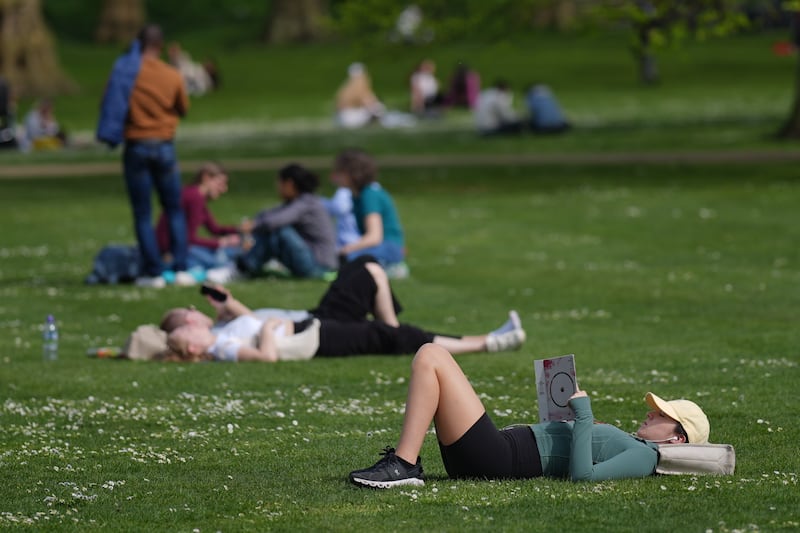
But the rest of the week is predicted to be much drier and less windy, with localised showers in northern Scotland and parts of Northern Ireland on Tuesday but sunny weather elsewhere, especially south and east England.
Some areas had unusually warm temperatures over the weekend – the highest being 21.8C recorded in Writtle, Essex, on Saturday – so the drop to more typical temperatures next week with stronger winds on Monday “might be a bit of a shock to the system for a number of people”, Mr Partridge said.
There will be more rain in Scotland on Wednesday and Thursday, the Met Office said, but temperatures across the rest of the country will be close to their seasonal averages with cloudy skies and scattered light showers.
By Friday, temperatures across the country are expected to reach the low to mid-teens with slightly warmer conditions in the south.
🌤️ Are you hoping for some more sunshine this week?
Here's a look at the forecast for the week ahead 👇 pic.twitter.com/EvGRSm5q20
— Met Office (@metoffice) April 14, 2024
Forecasters also said the lighter rain seen across some parts of the UK will slowly move away towards the end of the week as an area of high pressure drifts eastwards, making for a “mostly dry” Saturday and Sunday nationwide.
Mr Partridge said light winds and clear skies would make for “chilly nights” and cold early mornings, though temperatures will rise quickly once the sun comes up.
He added decreased rainfall was good news for parts of the country that have experienced, or been at risk of, flooding over the last few weeks.
“We’ve had way more rain so far this year than we would usually have, so (next week) is a chance for all the places that have been suffering from all the rainfall to finally recover a little bit,” he said.
Figures show England saw a record amount of rainfall between October 2022 and March 2024, the highest for any 18-month period since comparable data began in 1836.