HOUSEHOLDERS and businesses are bracing themselves for Storm Frank after weather experts forecast winds gusts of up to 95 kilometres an hour along the west coast of Ireland.
Met Éireann has issued a Status Yellow wind warning, with third major storm to hit the country in recent weeks heading across the Atlantic and bringing strong winds and heavy rain to counties Clare, Cork, Donegal, Galway, Kerry and Mayo.
“The rain will be heaviest in the west. It will gradually clear eastwards through the late afternoon and evening. South to southeast winds will be strong and gusty, especially in coastal areas,” the forecaster said.
Tomorrow afternoon is set to become “very windy” with strong to gale force southerly winds and rain spreading eastwards through the afternoon and evening and becoming heavy during the night.


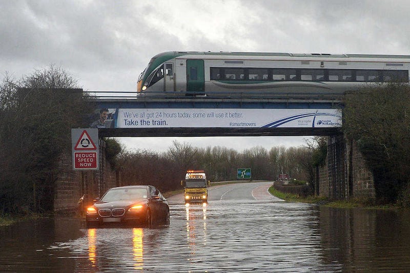
Wednesday will bring “widespread and locally heavy rain for most of the day, with the heaviest falls over the southern half of the country with flooding possible near rivers and coasts”.
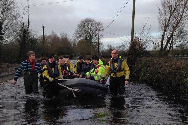
A Met Éireann spokesperson warned that rainfall amounts between Monday and Wednesday are likely to range between 30-60mm for many areas, with higher totals over mountains and “further flooding inevitable”.
The ESB yesterday increased the spill rate at Parteen Weir by 35 cubic metres per second (cumecs) from 370 cumecs to 405 cumecs, leading Clare County Council to warn that water levels along the Lower River Shannon were likely to increase further in the coming days.
Limerick County Council said water levels along the Lower River Shannon at Castleconnell, Montpelier, Mountshannon Road (Lisnagry) and in the Limerick City area had risen by around four inches during the previous 48 hours up to Sunday afternoon.
However, the water levels were 275mm lower than they were at their peak on Sunday December 13.
Senior engineer Vincent Murray said staff remained “on alert to ensure that the necessary responses can be immediately activated in the event of flooding during the coming days as approximately two inches of rainfall is forecast between Monday and Wednesday”.
Meanwhile, New Year's Eve will see a cold day with showers of rain or hail affecting most areas while New Year's Day will be characterised by “scattered showers in western areas, some wintry, but mostly dry and bright elsewhere with light winds”.