THE north’s schools have been advised to close on Monday because of the dangers posed by ex-Hurricane Ophelia.
A message posted by the Stormont executive’s Twitter account at 10.22pm on Sunday – and visible only to a limited number of people – said all schools should follow the lead of the Republic’s educational institutions which made their announcement much earlier.
Severe weather warnings are in place across Ireland as the remains of Hurricane Ophelia are expected to hit the island.
Met Éireann issued a red alert across the Republic as Ophelia makes its way from the Azores in the Atlantic Ocean.


Red weather warnings refer to the most severe conditions, where people are advised to "take action to protect themselves and/or their property".
The warning is in place from 6am to 11pm, with all areas said to be at risk.
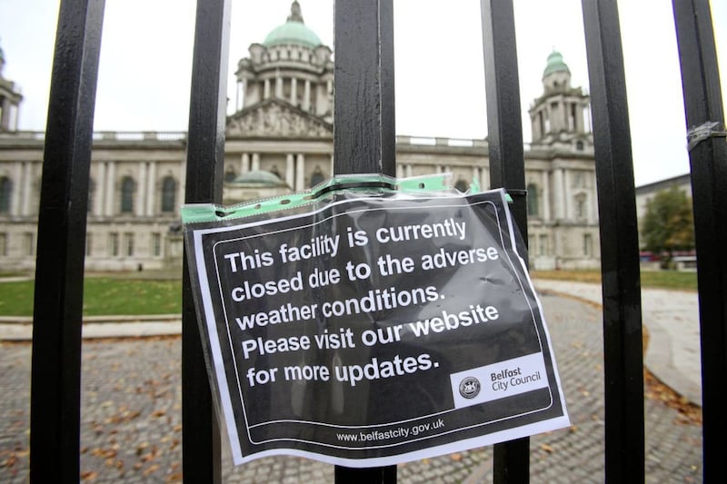
All schools and colleges will close amid fears over the damage the storm could wreak.
The Irish government's National Emergency Co-ordination Group yesterday met to discuss preparations.
Irish Defence Forces are on standby, including transport and engineering crews.
The public has been advised to stay off the roads during the height of the storm if possible and to avoid coastal areas.
Cyclists have also been warned not to go out on their bikes.
Sandbags have been distributed in some areas in advance of possible coastal flooding due to high winds and sea swells.
Dublin Airport and Shannon Airport were advising passengers to check the latest flight information before travelling, while Cork Airport have said cancellations are likely.
Taoiseach Leo Varadkar tweeted: "Defence forces being deployed in red weather alert areas and on standby for further action tomorrow.
"Please check in with older neighbours and those who need medical care."
A yellow weather warning is in place across the north in preparation for the storm, meaning very windy conditions are expected.
The Met Office said longer journey times and cancellations are likely as road, rail, air and ferry services may be affected, as well as some bridge closures.
They have also advised that power cuts may occur, with the potential to affect other services, such as mobile phone coverage.
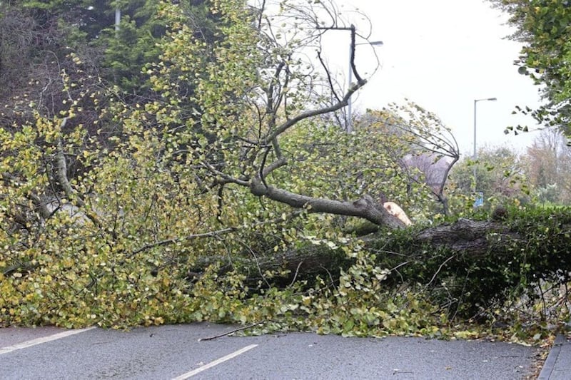
Flying debris is also likely, such as tiles blown from roofs, as well as large waves around coastal districts with beach material being thrown onto coastal roads, leading to the potential for injuries and danger to life.
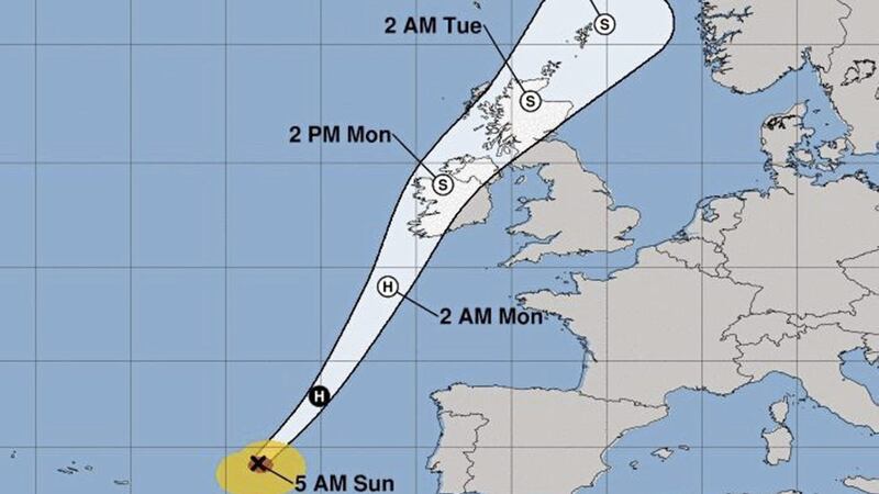
A Met Office forecaster said: "Ex-Ophelia will cross northern parts of Ireland during Monday afternoon and evening bringing some very strong winds to Northern Ireland.
"Gusts of 55-65 mph are likely across Northern Ireland with 70-80 mph gusts in the far southeast. A smaller area of very gusty winds is then likely to run across Northern Ireland from the west with 65-75 mph gusts possible for a short period of time in any one location.
"Both of these areas of very strong winds may well occur during a busy travelling period."