Using satellite technology to study how bogs “breathe” could help build a better picture of the condition of Scotland’s peatland, experts have said.
New research, published on International Bog Day, demonstrated the potential of measuring bog “breathing” – or peatland surface motions – to monitor the condition of sites, and possibly even carbon emissions from them.
The research is a collaboration between NatureScot – which was previously known as Scottish Natural Heritage – the University of the Highlands and Islands, the University of Nottingham, and Forestry and Land Scotland.
It used satellite interferometric synthetic aperture radar (InSAR) to map the movement of the ground’s surface – a technique developed with University of Nottingham spinout company Terra Motion Ltd.


By measuring the motion over time, the technique is able to assess the condition of the peatland and the effectiveness of different restoration techniques on a large scale.
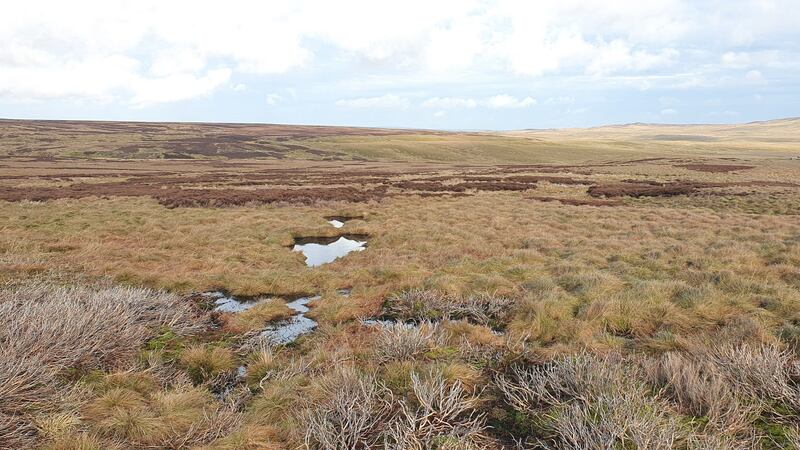
With peatland restoration seen as important in the fight against climate change, this could provide experts with a better estimate of the amount, distribution and condition of carbon stored in Scotland’s peatlands.
In addition it could highlight areas where urgent restoration action is needed
Lead author Chris Marshall conducted the research while at Nottingham and subsequently with the Environmental Research Institute at North Highland College UHI, part of the University of the Highlands and Islands, where he is now a peatland scientist.
He said: “Bog breathing or peat surface motion gives a unique insight into the inner workings of the peatland including its landscape, hydrology and ecology.”
Using the InSAR technique “allows us to monitor peatland condition at a scale unimaginable a decade ago”, he added, saying this would allow the progress of peatland restoration to be measured in real time.
“The techniques developed during this work are now being applied as part of a Leverhulme award to determine how resilient Scotland’s peatlands are to extreme climate events such as wildfire, drought and extreme precipitation events, in order to guide management of these valuable ecosystems during this period of climatic change.”
David Large, co-author and peatland specialist at the University of Nottingham, said: “This new tool allows us to see the landscape swell and contract in response to different environmental conditions.
“A healthy peatland is wet with lots of soft and spongy sphagnum mosses that swell and retain water. In contrast, drier peatlands are stiffer and unresponsive to the addition of water. The former moves like a beating heart, whereas a degraded peatland could be described as flatlining.”
He continued: “This technique is really exciting because it enhances our understanding of peatlands, allowing us to see what we would not ordinarily be able to with the naked eye, making our peatlands more accessible and ensuring restoration takes place in the right place. In the future, it has the potential to be used to monitor carbon emissions.”