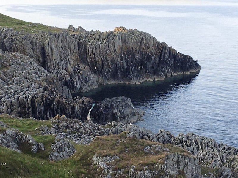
THE jagged rocks poking out of the Irish Sea have a scaly look about them, as if they are the encrusted remains of an ancient giant lizard.
The sea crashes on to them about 30 metres below where I stand on a grassy pathway which looks inland towards some of the best-known landmarks in Co Down.
This spot was once the shore on to which the sea would have washed, but over the past 10,000 years has risen to is present elevation.
Before that, for around 20,000 years, this area and most of the rest of Ireland would have been buried beneath a massive ice sheet rising to at least 1km.


The sheer weight of this pushed down on the landmass but when it melted Ireland literally began to rise out of the sea again creating this coastal feature.
It is believed that Ireland first became an island around 125,000 years ago when sea levels rose to pretty much similar to where they are today, but the landscape of that first version of Ireland as a separate entity from other land masses has changed dramatically.
While the Mourne Mountains, the Sperrins, the Twelve Bens in Connemara and Reeks of Kerry had been formed many millions of years earlier they underwent devastating changes while crushed beneath the icesheets.
The Mournes, which I can see shimmering in 26 degrees sunlight today, were formed around 60 million years ago, five million years after the dinosaurs became extinct.
However, to the northwest of them are the Slieve Croob and the Dromara Hills and compared to them Slieve Donard is a mere baby.
The Dromara hills, where the River Lagan rises, were formed 400 million years ago, 170 million years before the first dinosaurs had even evolved.
They were once part of a massive mountain range that have, over the vast tracts of time that have passed since their formation, been worn down to mere stumps. The last ice age give them their present shape.
But even these hills are younger than the jagged rocks below me over which the sea is gently washing.
These rocks are Silurian and are around 430 million years old – they are shales and greywackes deposited in a deep ocean trench along the northern side of the Iapetus Ocean, forced up into their almost vertical position when two landmasses fused together.
It might comfort some, and annoy others, to know that there was once an actual physical north-south divide in Ireland and that it really was an island of two parts.
Although it wasn't actually an island then – the southern half was part of a landmass called Avalonia and the northern part was on a continent called Laurentia.
They were divided by the Iapetus Ocean but over millions of years drifted together and collided.
The Avalonia bit of Ireland now lies south of line that runs between Dingle and Dundalk, while the remains of the Laurentia is to the north of a line running between Galway Bay and Larne.
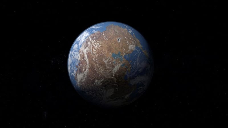
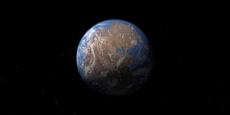
The bit in between those two lines was once deep beneath the Iapetus Ocean. As it closed over around 300 million years ago a supercontinent was created called Pangea and what is now Ireland lay to its north.
Back then you could have walked overland from this spot in Co Down to what is now California, down into Argentina, took a left and crossed over Africa, India and spent a bit of time in Tibet before walking north again into Saudia Arabia, Turkey and back west through Poland, Germany, France and Britain, and be in Ardglass in time for a well-deserved cup of tea.