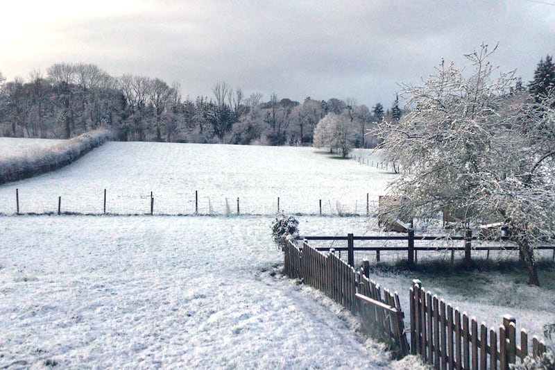
A yellow warning for rain and snow has been issued for Northern Ireland until noon tomorrow.
The Met Office alert came into effect at midnight on Sunday, with temperatures dropping to freezing.
Commuters were advised to expect traffic disruption as the new working week began.
In Dungannon, Ulsterbus services were cancelled until further notice due to heavy snow. Some services in Belfast have also been affected.
Schools that are closed include:
- Carrickmannon Primary School, Ballygowan
- Duneane Primary School, Antrim,
- Windmill Integrated Primary School, Dungannon
- Drumglass High School, Dungannon
- Cookstown High School
- Killen Primary School, Castlederg
- Richmond Primary School, Ballygawley
- Magherafelt High School
- Rainey Endowed, Magherafelt
- Tobermore PS
- Kilronan PS, Magherafelt
- Tildarg Primary School, Ballyclare
- Gaelscoil na gCrann, Ballinamullan, Omagh
Belfast zoo was closed because of snow.
The snow is back! Belfast Zoo is closed today due to the wintry weather ???
— Belfast Zoo (@BelfastZoo) February 24, 2020
Don’t worry though, our animals are having a great time making the most of the snow!
Keep an eye on our social media and website for further updates! pic.twitter.com/DEWd6QuYpM
There were power outages affecting homes across Northern Ireland.
Weather warning for heavy rain and snow in place until noon - difficult driving conditions, flooding, and travel delays possible. Take extra care. Flooding Incident Line 0300 2000 100. Info and advice: https://t.co/onYsj32MGG @deptinfra pic.twitter.com/X0mTG5Cact
— nidirect (@nidirect) February 24, 2020
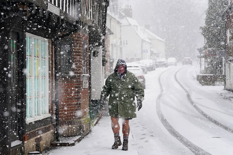
Snow and rain fell Northern Ireland, Scotland and northern England on Monday morning as warnings of further flooding were issued.
In the south of England, a severe flood warning - meaning an imminent danger to life - continued for the River Severn in Shrewsbury, as the Environment Agency (EA) warned of ongoing flooding dangers across England.
The EA said in a statement that heavy rainfalls had caused the Severn's levels to rise and "flooding of property is expected to continue".
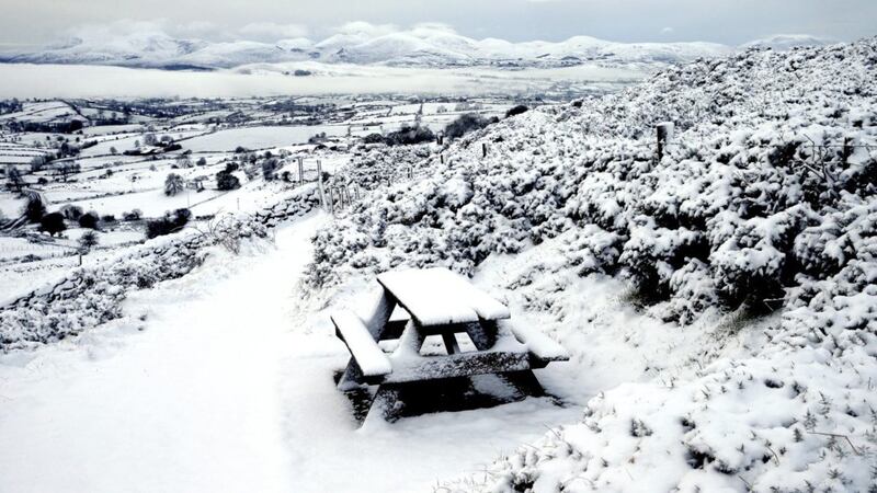
A yellow weather warning has been issued for snow across all but the most northern areas of Scotland and Aberdeen until 10pm on Monday.
The Met Office said: "Here, two to five centimetres of snow is likely above 100 to 200 metres whilst above 300 metres 10 to 20cm snow may build up."
Met Office forecaster Marco Petagna warned commuters to monitor the conditions for hazards, saying: "At the moment we're seeing ice and frost overnight most nights, and there are going to be a lot of icy patches around this morning.
"People need to keep an eye out."
The forecaster said there would be a temperature disparity on Monday as the mercury hovered around a "quite mild" 11-12C in the south of the UK and dipping to -6C in northern Scotland.
Rain and snow were expected to push north and east across the country "before giving way to some brighter weather" across the south and west of Britain later in the day, Mr Petagna said.
As well as the severe flood warning for Shrewsbury, the EA had issued 92 flood warnings and 182 flood alerts as of Monday morning.
Warnings and alerts were in place from Cornwall to the Norfolk coast and from Dorset to the Scottish border.
An EA spokesman said ongoing flooding is possible for parts of the West Midlands, along the Severn and Wye and also in parts of the north of England, including in the lower River Aire in Yorkshire.
The Scottish Environmental Protection Agency said three flood warnings were in force on Monday morning with four further flood alerts.
And in Wales, there were nine flood warnings in force and 19 alerts.
While the extreme weather should settle down over Tuesday and Wednesday - accompanied by a notable dip in temperatures - the Met Office said further heavy rain is expected on Friday.
The bleak outlook follows more than a fortnight of downpours and flooding that started with Storm Ciara, continued with Storm Dennis and kept going with the weekend's storms, which - contrary to some reports - have not been named by the Met Office.